Floating on Ozarks Rivers
 Before floating down an Ozarks river you should check out our guides.
A Paddler's Guide to Missouri-featuring 58 streams to canoe and kayak. This guide gives mileage and points of interest along rivers. It also has maps that show put in/take out places and gives warnings of known hazards.
A Canoeing & Kayaking Guide to the Ozarks. In addition to mileage and descriptions of the rivers, this book also lists the USGS quadrangle map names that the rivers flow through and driving directions to access points. Many quadrangle maps for southwest Missouri are available at the Library Center or you can download or buy them from the U.S. Geological Survey website.
You can determine the river gauge height on line at one of the following sites:
USGS Real-time Water Data for the nation:
http://waterdata.usgs.gov/nwis/rt
Or just for Missouri:
http://waterdata.usgs.gov/mo/nwis/rt
If you are rained out you can read about the rivers. Some suggestions are:
Steamboats and ferries on White River by Huddleston, Rose and Wood.
Stars Upstream by Leonard Hall [the Current River]
Water Mills of the Missouri Ozarks by George G. Suggs, Jr.
Swimming holes of the Ozarks by Glenn W. Wheeler
The Current River and tributaries by David Lewis [In library use only]
You can search our catalog for your favorite river. [Hint: use the "subject" search rather than the "keyword" search.]
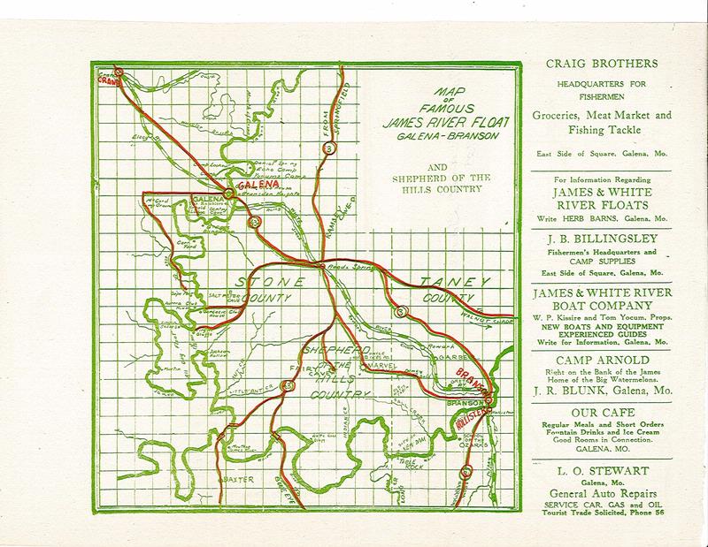
Click image to enlarge.
Find this article at http://thelibrary.org/blogs/article.cfm?aid=365&lid=39&view=print