Unexpected Waterway
 "Discovery of an old waterway, which you see at right in this picture, has delayed construction of the new municipal parking lot west of the Public Square, but it’s still expected that the lot will be in operation between Nov. 15 and Dec. 1, in time for the Christmas shopping rush, City Manager Bart Avery said today. This is the site of the old Convention Hall building, and the waterway ran under that structure. The old covering has been removed from it, and a new steel structural steel top will be placed over it to assure that it will support the weight of cars. The waterway, constructed many years ago, before the city began keeping records of such installations, was working and will be left open for
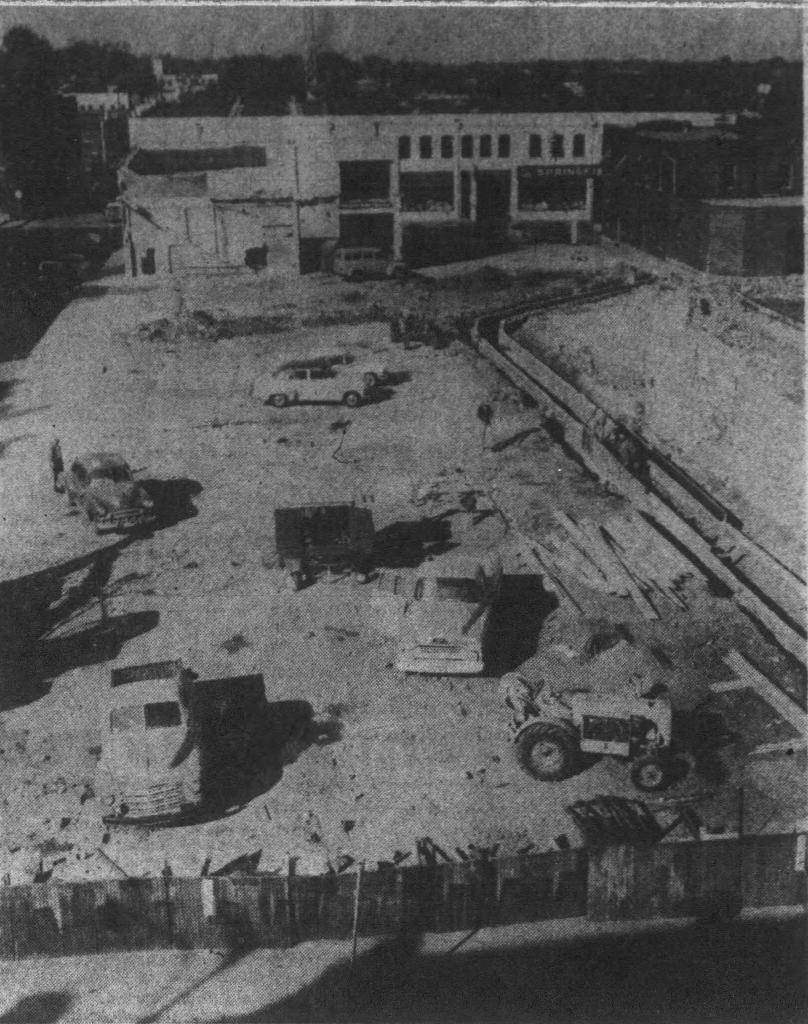
  drainage purposes. In the left background is a portion of the old Convention Hall which was left standing, for use as a police department garage. In the right background is the present police station; its garage, at the rear of the building, will be used for added office space when the Convention Hall space is renovated and ready for use. The building at right center is a privately owned store; just behind it is the old fire alarm building. When the new alarm system is installed at Kimbrough and Trafficway, where Fire Station No.1 will eventually be located, the old building will be razed and several additional parking spaces added to the lot. The site of old Fire Station No.1, not shown in the picture, will be a part of the new parking lot, which will accommodate 157 cars. It will be accessible from four streets, College, Market, McDaniel and Campbell."
Leader and Press November 2, 1958
The black and white photo above accompanied the newspaper article. The Sanborn Fire Insurance Map from 1957, lower right, shows some clearance of the property had already started.
Find this article at